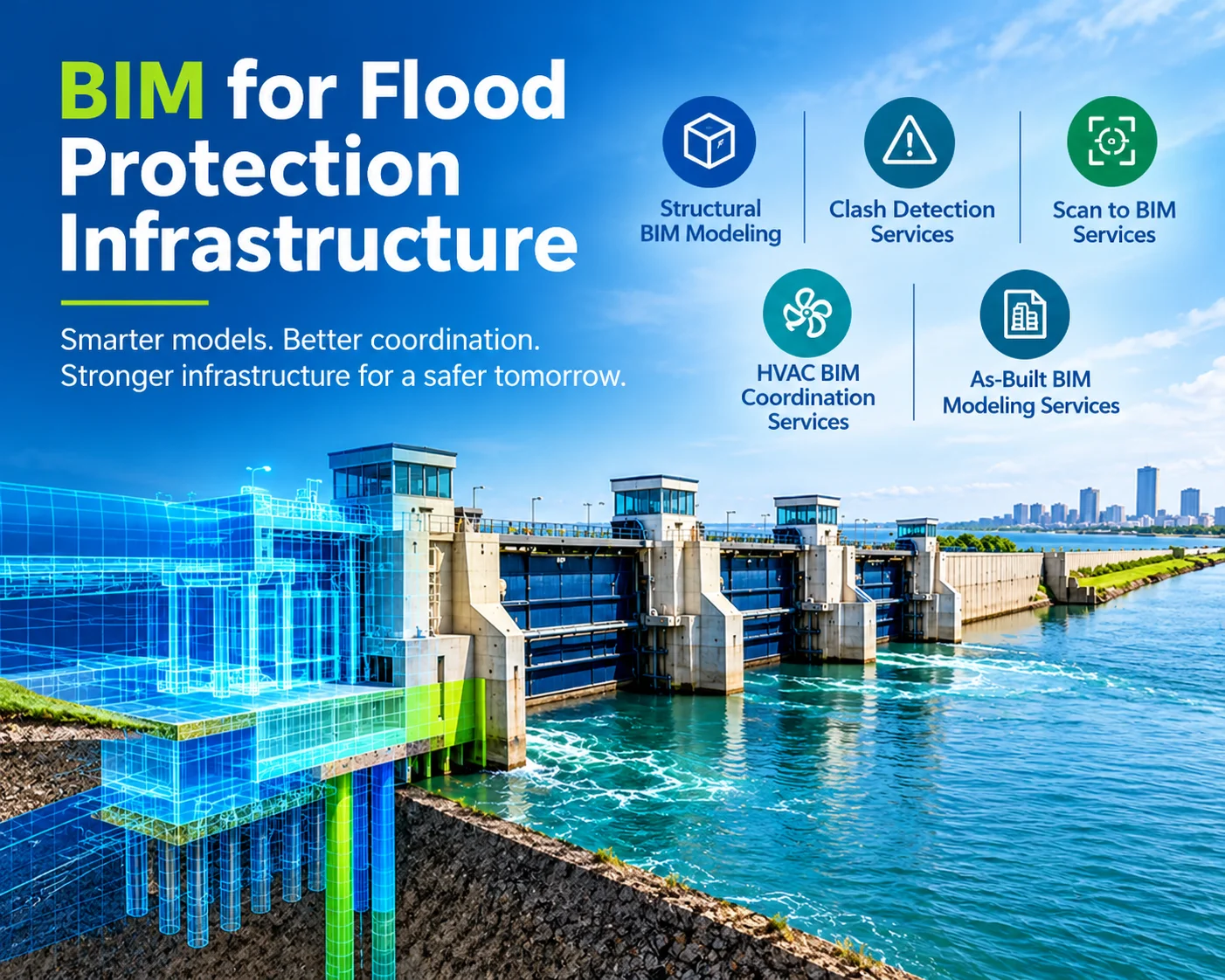
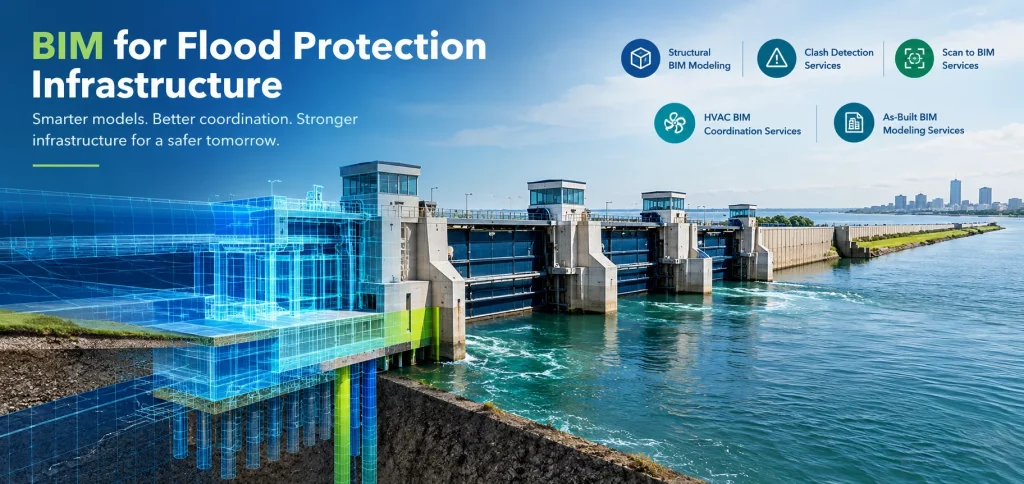
BIM for Flood Protection Infrastructure starts with an uncomfortable fact: coastal cities sit exactly where storm surge, heavy rain and rising water meet dense populations and critical services. Levees, floodwalls, surge barriers, gates and pumping stations form the physical line of defence, and each part has to work as one system. Engineers, hydrologists and geotechnical specialists decide how that system should perform. Building Information Modeling does not replace their judgment. It gives project teams a shared digital model for coordinating design and construction. That coordination is where Clash Detection Services help most, because conflicts between structures, utilities and equipment are far cheaper to find on screen than in the field.
What the New Orleans Flood Defences Show
New Orleans offers a useful benchmark for large-scale flood defence. After Hurricane Katrina in 2005, the US Army Corps of Engineers delivered the Hurricane and Storm Damage Risk Reduction System, a network of levees, floodwalls, gates and pump stations that cost roughly $14 billion. It is designed to reduce the risk from a storm surge with a 1% chance of occurring in any given year. The published record does not describe how BIM was used on these works, so they are best read as an example of the scale and complexity that BIM for Flood Protection Infrastructure is meant to help teams manage. The 1.8-mile Lake Borgne Surge Barrier, about 26 feet high, sits at the heart of the system. Its design, procurement and construction overlapped, which shows how tight coordination must be on projects like this.
Engineering Challenges and Structural Modeling
Structural BIM Modeling Services start from a simple observation: flood barriers, levees and drainage structures are rarely simple. Soft soils can settle unevenly, which is why later assessments found parts of the New Orleans levees sinking faster than expected. Overtopping waves can scour the protected side of a levee or wall, and surge barriers depend on foundations driven to precise depths and angles. Gates, drainage outfalls and pump stations then have to connect to all of it. Drainage adds another layer, since pumps and outfalls must move water out as reliably as the barrier keeps it out. A coordinated structural model lets teams see foundations, walls, gate frames and reinforcement in one place, so designers can check how parts meet before anyone pours concrete. That visibility supports the civil, hydraulic and geotechnical engineers who set the design criteria, and it is a core part of BIM for Flood Protection Infrastructure.
How BIM Supports Planning and Documentation
Before construction, the model works as a planning tool. Teams can visualise the barrier, its access routes and its construction sequence, then test ideas with owners and regulators. Quantities taken from the model give early estimates of concrete, steel and piling, which helps teams compare options before committing to detailed design. Used well, BIM for Flood Protection Infrastructure connects geometry with quantities, materials and construction stages in one place. Design coordination improves because each discipline works from the same reference instead of separate drawings. Construction documentation follows from the model, so sections, schedules and fabrication details stay consistent as the design changes. None of this makes BIM a flood solution by itself. It simply makes engineering information easier to share and check.
Also Read: BIM for bridge Construction: Lessons from the Danjiang Bridge
Finding Conflicts Before They Reach the Site
BIM for Flood Protection Infrastructure also gives teams a structured way to find conflicts early. Automated checks compare structural, drainage, electrical and mechanical models and flag places where elements occupy the same space or break a clearance rule. A gate machinery room, for example, may collide with a conduit run or a drainage line. Engineers review each flagged item, decide which ones matter and assign a fix, and the check is repeated after design updates. Existing structures bring a different problem, because drawings of older floodwalls and pump stations are often incomplete, and that is where Scan to BIM Services come in.
Documenting Existing Infrastructure
Laser scanning captures a structure as it stands today, and the point cloud is converted into a measured 3D model. For flood defences that have been repaired, raised or modified over decades, this gives designers a reliable starting point. The same model supports renovation work, such as upgrading a pump station or adding capacity to an older floodwall. Teams applying BIM for Flood Protection Infrastructure can then fit new work to measured reality rather than archive drawings. Scanning is especially useful around gates, channels and pump stations, where manual measurement is slow and often incomplete. Scan quality depends on site access and conditions, so scope and tolerances should be agreed early. A model built this way also becomes a useful record for later inspection.
Associated Facilities and MEP Coordination
HVAC BIM Coordination Services matter because flood protection is more than concrete and earth. Pump stations, gate operation buildings and control rooms contain ventilation, electrical, plumbing and fire protection systems that must fit into tight spaces. Coordinating ductwork with structure, cable trays and equipment early reduces surprises during installation. Professional BIM service providers support contractors and engineering teams here by building coordinated models, running clash checks, preparing shop drawings and keeping documentation current. Maintenance access matters too, so the model helps confirm that equipment can be reached and replaced later. They work alongside the project’s engineers, not in place of them, and that is how BIM for Flood Protection Infrastructure works in practice.
BIM Applications at a Glance
| BIM Application | Role in Flood Protection Infrastructure | Key Benefits |
|---|---|---|
| Structural BIM Modeling | Modeling barriers, gate foundations and structural elements | Better visualization and coordination |
| Clash Detection | Identifying conflicts between structures, drainage and equipment | Fewer coordination issues reaching the site |
| Scan to BIM | Converting existing site conditions into digital models | Improved existing-condition documentation |
| HVAC BIM Coordination | Coordinating mechanical systems in pump stations and control buildings | Better multidisciplinary coordination |
| As-Built BIM Modeling | Recording completed construction conditions | Improved maintenance and asset management |
Conclusion
Flood defences are built to serve for decades, so the information behind them has to last as well. A completed model that records what was actually built helps owners plan inspections, manage assets and design future modifications, particularly where levees are raised or gates are upgraded. Used alongside sound engineering, coordinated BIM reduces uncertainty from planning through handover. Teams that need an accurate record of finished works can rely on As-Built BIM Modeling Services.
Disclaimer: This content is intended for informational and educational purposes only. Project specifications, engineering details, technical information, and other claims should be independently verified through reliable sources before being relied upon. Actual project requirements may vary depending on site conditions, applicable regulations, and engineering considerations.