Understanding Point Cloud Data in Modern Construction
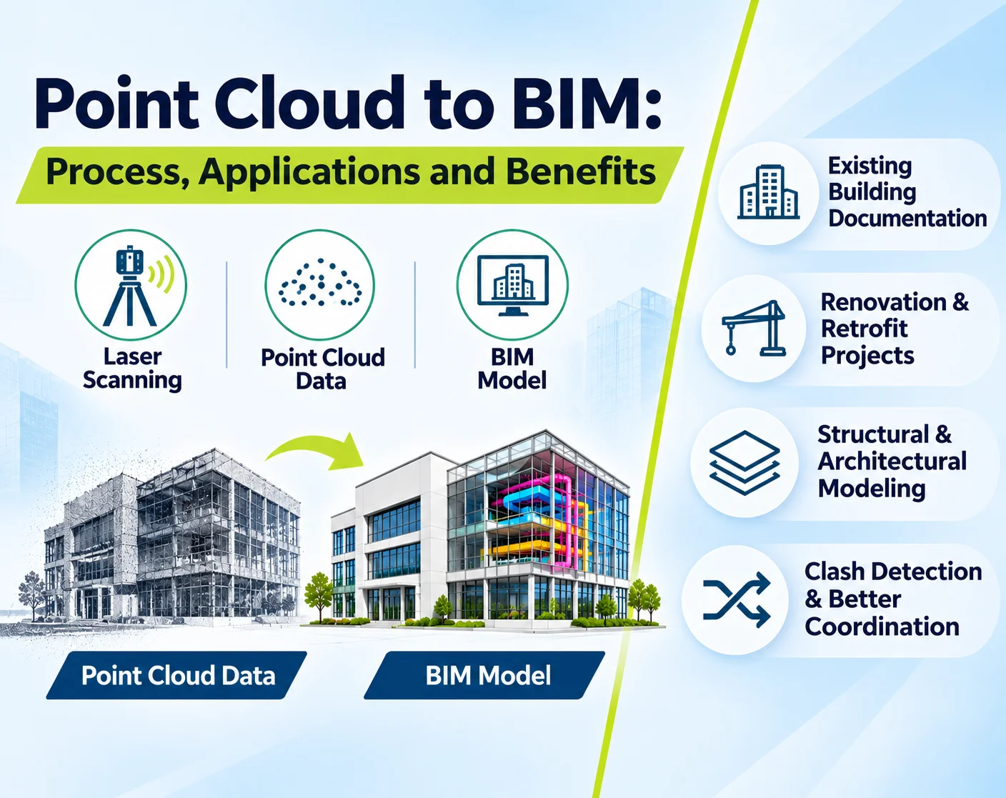
Point Cloud to BIM is the step that turns a scan of a real building into a model people can design and build from. Before that step, you only have point cloud data: millions of measured points, each with X, Y and Z coordinates and often color or intensity values, recorded by a scanner standing in the space. The cloud records what the scanner could see. It is not a model. Tape measures and total stations capture selected points, while scanning records surfaces in bulk, so teams document corridors, plant rooms and façades without guessing which dimensions will matter later. That is why renovation, reconstruction and construction verification increasingly start with a scan, and why our laser scan to BIM services focus on turning that capture into usable models. Old drawings rarely match what was built, and every assumption about existing conditions costs money once the crew arrives. A model built on good Point Cloud data replaces those assumptions with measured evidence.
How Point Cloud to BIM Conversion Works
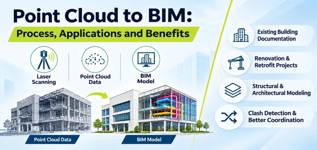
The workflow starts in the field and ends with a checked model. Scans are captured, then registered into one coordinate system so separate setups line up. The cloud is cleaned of noise such as passing people and stray reflections, then segmented so walls, slabs, columns, ducts and pipes can be told apart. This is where Point Cloud to BIM really begins: modelers use the organized cloud as a reference and build intelligent elements in Revit or similar software, with type, level, material and other parameters assigned. Processing the cloud does not create BIM elements by itself. Mesh generation is optional too. Many teams model directly over the cloud and use meshes only where a surface calls for one. The model is then checked against the scan before delivery.
| Workflow Stage | Main Activity | Expected Output |
|---|---|---|
| Laser Scanning | Capturing scans from planned positions with enough overlap | Raw scan data |
| Registration | Aligning scans using targets or cloud-to-cloud matching | Single registered cloud and reported alignment error |
| Data Processing | Removing noise, trimming and splitting by level or zone | Clean, manageable point cloud |
| Element Identification | Segmenting the cloud and recognizing walls, slabs, columns and services | Classified reference data |
| BIM Modeling | Building parametric elements and assigning type, level and material data | Intelligent 3D BIM model |
| Quality Control | Overlaying the model on the cloud and logging assumptions | Verified BIM deliverables |
The Laser Scanning Process Behind Reliable BIM Models
Every laser scanning process starts with a choice of method, because no single scanner suits every building. Terrestrial scanners sit on a tripod and capture interiors and façades in fine detail, so they are the usual pick when accuracy matters. Mobile scanners are carried or driven through a space, which speeds up long corridors, large floorplates and infrastructure, often at lower density. Drones reach roofs and elevations that are unsafe or slow to access. Density and accuracy depend on the equipment, scan spacing, registration and site conditions, so the specification should state what the model must achieve. Occlusions are the other constant. Furniture, ceilings and plant block the line of sight, and gaps left in the field become assumptions at the desk. Planning scan positions before arriving on site protects the quality of the Point Cloud to BIM model that follows.
Where Point Cloud to BIM Is Used on Real Projects
Existing building documentation is the obvious use, but the applications go further. Renovation teams scan occupied floors to confirm floor-to-floor heights and wall positions before designing new partitions. Historic projects record irregular masonry and ornament without touching fragile surfaces. For structural assessment, a model of visible columns, beams and slabs gives engineers a reliable geometric base, though it does not replace testing or investigation. For MEP work, scanned ducts, pipes and trays show what is really in the ceiling void, which is where Point Cloud to BIM saves the most argument. Contractors also scan completed work to verify construction against design and to produce as-built BIM, and owners keep those models for facility management, from space planning to asset records.
Also Read: How Building Complexity and LOD Affect Scan to BIM Costs
Why Structural BIM Modeling Needs Reliable Scan Data
Point Cloud to BIM replaces inherited drawings with measured geometry, and that improves every decision that follows. Walls out of plumb, sloping floors and openings altered in earlier refits show up as real dimensions instead of site surprises. Architects get a dependable base for layouts, finishes and code checks. Retrofit planning improves because new work is designed against what exists, and discrepancies between old drawings and the building surface early. Each discipline also works from one shared reference, so fewer meetings start with whose measurements are right. Where framing, openings and loads drive the design, reliable scan data gives engineers firmer ground for Structural BIM Modeling.
Common Challenges in Point Cloud to BIM Projects
Point clouds are heavy, so teams split them by level or zone and use indexed formats to keep software responsive. Registration error can drift across large buildings, which is why overlap, targets and reported residuals matter. Glass, mirrors and polished metal reflect or pass the laser, so those areas often need manual checks. Point Cloud to BIM also takes judgment: complex geometry forces choices about how closely to model, and any assumption made where data is missing should be flagged in the model. A scan only records what the scanner could see. Concealed beams, reinforcement, buried services and wall build-ups cannot be read from the cloud and may need record drawings, ground-penetrating radar or opening-up work. Agree on file formats, software versions and level of development early, then verify the finished model by overlaying it on the cloud.
Coordination and Clash detection Services in Project Delivery
Architectural BIM Modeling, structural modeling and MEP work only coordinate well when they share one accurate reference. An existing-condition model built from scan data gives every discipline the same starting geometry, so discrepancies come up in review rather than during installation. Clash detection Services then check new work against existing structure and services on the combined model. That only works if the geometry is sound, the coordination requirements are defined and the model has been validated, because a clash report is only as reliable as the model behind it. The results feed sequencing, prefabrication and procurement, so precise deliverables matter. At BIM Services LLC, our team pairs scan-based modeling with 3D clash coordination across architectural, structural and MEP scopes. We treat every existing-condition model as the foundation for coordination, and that is the purpose of Point Cloud to BIM.
Conclusion
Converting scans into models links what is physically on site with what teams design from. Done carefully, it captures existing conditions, exposes the gaps in old drawings, supports renovation planning and keeps every discipline working from the same facts. The result is only as good as the scan, the modeling judgment and the verification behind it, which is why experienced BIM professionals matter. Whether you need an as-built model, a retrofit base or coordination before installation, BIMServices can take you from raw scans to dependable models and Clash detection Services.